With its mixed land use, the Demnitz Millcreek is ideally suited as a study area for researching the water balance in the landscape. I Photo: AG Dörthe Tetzlaff
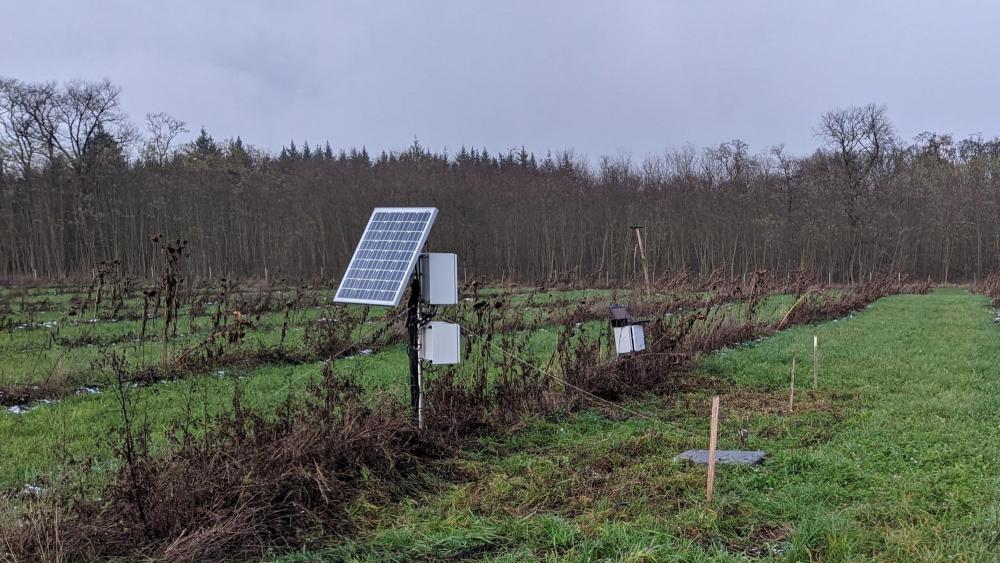
The DMF was established as a study area of IGB in 1990 to investigate the effects of agricultural use on water quality. Therefore, long-term data on hydrology and water chemistry as well as on climatic conditions exist spanning more than 30 years. Today, climate data, soil moisture, groundwater levels, and runoff data for eco-hydrological long-term research on the water balance in the landscape are continuously collected, spatially distributed over 66 km². Prof Dörthe Tetzlaff's research group Landscape Ecohydrology has permanently installed sampling and measuring devices there for measuring evaporation and transpiration as well as stable water isotopes and water quality in precipitation, surface waters and groundwater. Soil water and water chemistry are also regularly sampled and measured in the IGB isotope laboratory and CAB laboratory. Furthermore, parts of the area have been mapped on a monthly basis by remote sensing using drone flights.
Data sets on the Demnitzer Mühlenfließ are available in the IGB database FRED >
In December 2023, the field observatory was accepted for inclusion in the global network of ecohydrology demonstration sites of the UNESCO Intergovernmental Hydrological Programme (UNESCO-IHP).