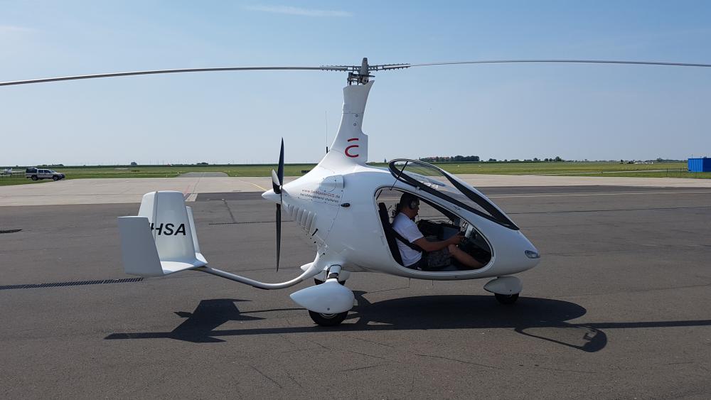
Gyrocopter of Anhalt University of Applied Sciences. | Photo: Anhalt University of Applied Science
More than 30 scientists of various research institutes and universities – amongst them five IGB researchers – contributed their aquatic knowledge and an extensive arsenal of measuring instruments to a measuring campaign for remote sensing on five different lakes and reservoirs in Saxony-Anhalt: Arendsee, Reservoir Kelbra, Lake Süßer See, Lake Geiseltalsee and Rappodetalsperre. In addition to boats and satellites, drones and a helicopter were used. The data - obtained at the same time - is used to compare satellite data with various optical measuring instruments and conventional analytical methods from the laboratory, such as chlorophyll measurements in water bodies.

Measuring campaign on the Süßen lake in Mansfelder Land. | Photo: Andreas Jechow / IGB
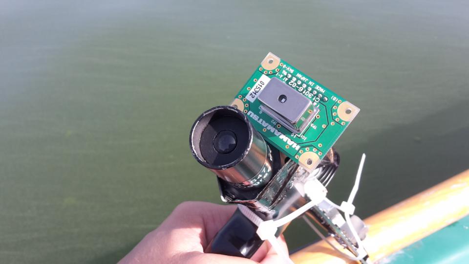
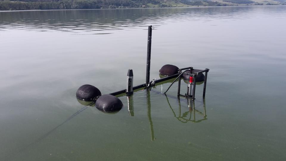
Minispectrometers. | Photo: Andreas Jechow/S IGB
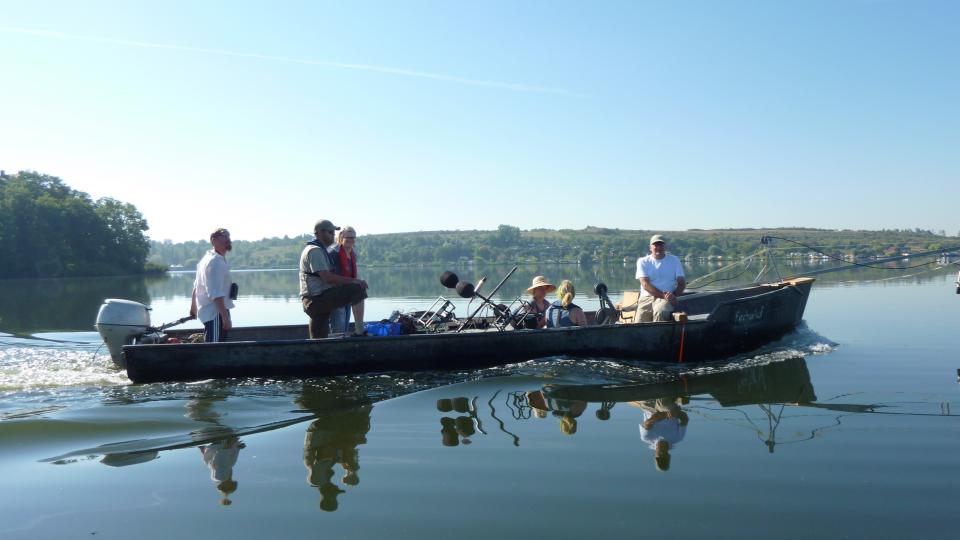
Measuring campaign on the Süßer See in Mansfelder Land. | Photo: Andreas Jechow/ IGB
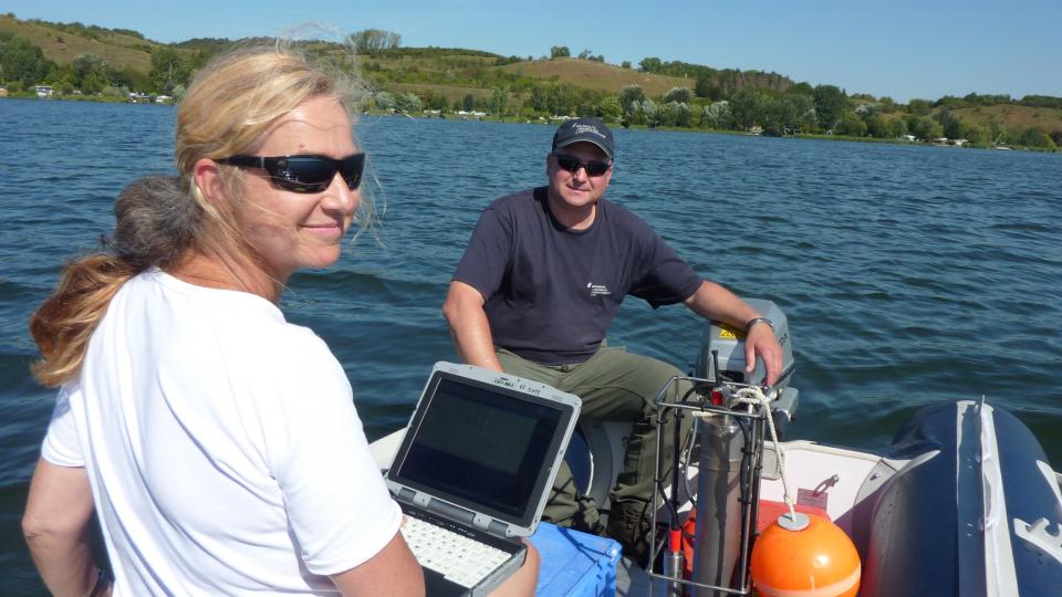
Measuring campaign on the Süßer See in Mansfelder Land. | Photo: Andreas Jechow/ IGB
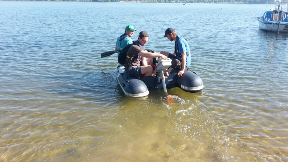
Optical comparative measurements on the Kelbra dam. | Photo: Andreas Jechow / IGB
Measuring campaign on the Süßen lake in Mansfelder Land. | Photo: Andreas Jechow / IGB
Measuring campaign on the Süßen lake in Mansfelder Land. | Photo: Andreas Jechow / IGB
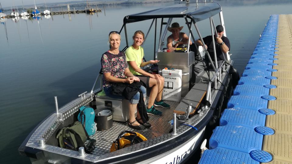
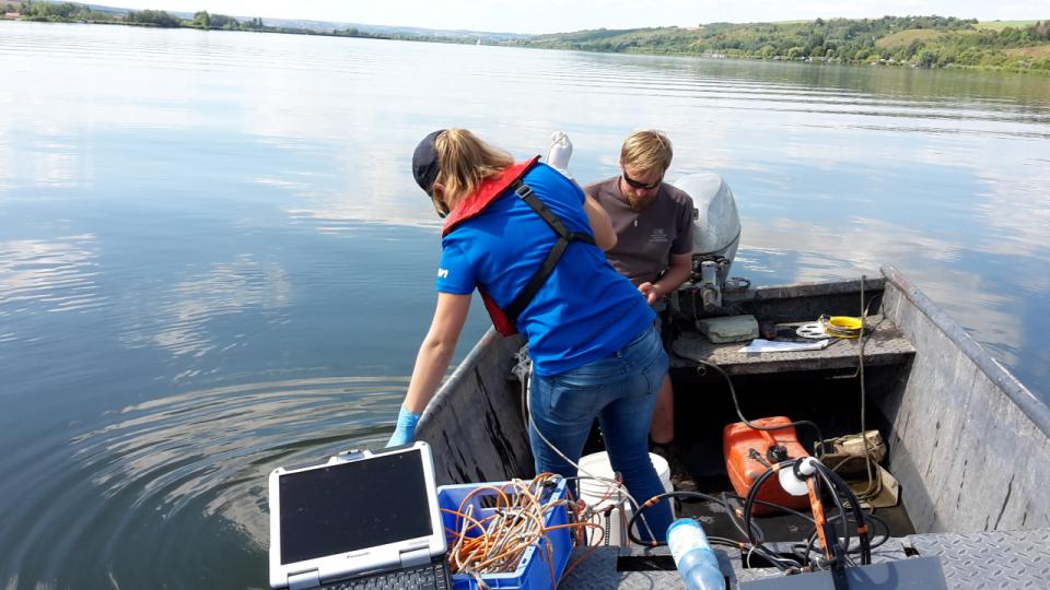
An IGB team on the Kelbra dam. | Photo: Stella Berger / IGB
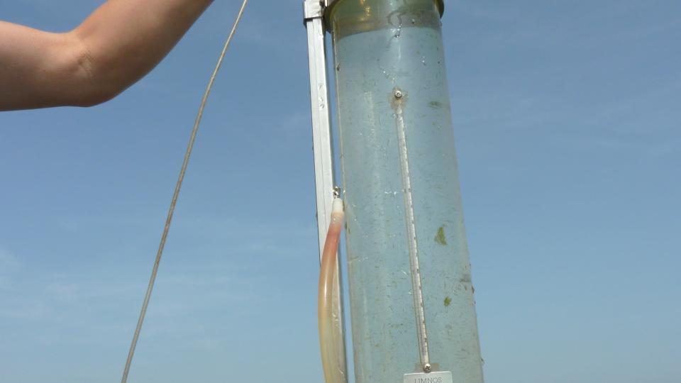
Photo: Stella Berger / IGB