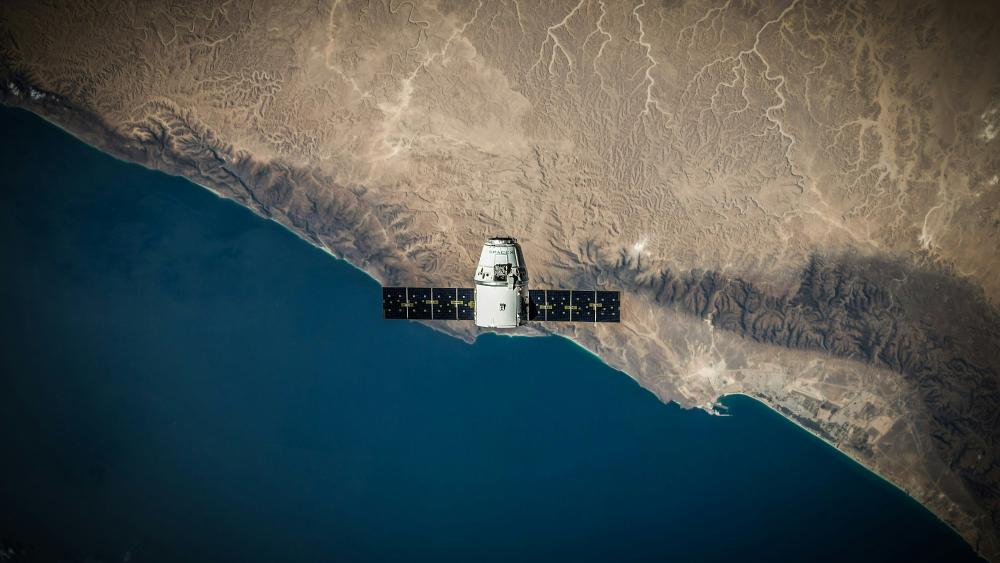
Representative picture. | Photo: SpaceX on Unsplash
A large number of historical spy-satellite photographs from the Cold War Era were declassified decades ago. This valuable remote sensing data has been utilised by scientists across a wide range of disciplines from archaeology to civil engineering. However, its use in ecology and conservation remains limited.
In a first step, the research team of the study has now evaluated the spatial, temporal and seasonal coverage of over one million declassified images from four historical US spy-satellite programmes.
Treasure trove of data, challenges for research application
“This data spans nearly the entire globe and is available across all seasons, said Dr Olexsandra Shumilova. This means they can be used to give insights into the historical changes of ecosystems, species populations or changes in human influences on the environment dating back to the 1960s.
However, the use of spy-satellite data in ecological research faces several challenges. The study highlights issues such as limited access to and sharing of data, high costs, the necessity of pre-processing and rectifying images, and the absence of consistent workflows within the scientific community. At IGB, Igor Ogashawara is investigating how remote sensing data, such as satellite imagery, can be used to improve environmental monitoring of water bodies. He is also very active in the GEO (Group on Earth Observations) network, which brings together Earth observation data, technologies and scientific knowledge and translates them into freely accessible, reliable and universally understandable information. He stated: "Networks like GEO are important interfaces for interdisciplinary collaboration between ecologists and remote sensing specialists to explore the full potential of these incredible datasets.”
The text is based on a press release of the University of Freiburg >


