Watery and water-scarce Berlin. I Photo: Michal Bednarek
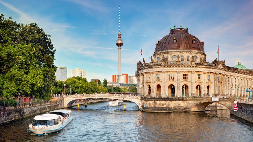
"Brl" comes from Old Polabian - a Slavic language that was widely spoken in north-eastern Germany until the 12th century, but was never a written language. And yet some words have survived to this day, in city names like Berlin, for example. Brl stands for swamp or morass. And true, Berlin is built on sandy soil and the groundwater level is high in many districts. Especially in the areas of the glacial valley, such as in southern Mahlsdorf and Kaulsdorf, in Johannisthal, in Rudow, in Rummelsburg, in the government district, at Charlottenburg Palace, in Siemensstadt and in Wittenau. Due to the formation of the landscape during the ice age, Berlin is very rich in freshwater bodies.
A "morass city" with little rain
On the other hand, the Berlin-Brandenburg region is one of the areas in Germany with the lowest precipitation. This will become even worse in climate change. "It seems a somewhat paradoxical situation. Partly marshy ground due to high groundwater, many water bodies - and yet Berlin and Brandenburg are struggling with water shortages," said Dörthe Tetzlaff. A cross-city comparison shows Munich has a long-term annual average of 944 mm of precipitation, Cologne 839 mm, Hamburg 793 mm and Berlin 591 mm. In 2018, Berlin even had only 312 mm of precipitation, an all-time low record.
Dörthe Tetzlaff’s team examined various components of the water balance in the city in the dry years 2018-2020. The researchers looked at water fluxes from the atmosphere, vegetation, groundwater, soil water and surface water at high spatial and temporal resolution using stable water isotopes. With this approach, it is possible to determine in detail the "fingerprint" of water, and thus its origin, age and fate in the landscape.
The “Green-space mosaic”: shrubs stabilise groundwater, trees provide evaporative coolness
Plants play an important role in the water cycle. In Berlin, green spaces make up a significant proportion of the city’s area, at around 30 per cent. The team investigated which type of vegetation promotes the retention of water in the soil and thus, stabilises the groundwater level. "Trees play an important role in the urban climate - they provide shade, produce oxygen and provide a cooling effect in summer because water evaporates through the leaf surfaces. It is important to note that evaporation and groundwater recharge interact closely: Large trees often transpire more water, hence the large cooling effect. However, less water is available for groundwater recharge. We were able to show that a green mosaic of shrubs - which help retain water in the soil better in dry periods - and trees is best suited for extreme drought," explained Dörthe Tetzlaff.
In their studies, large trees released more moisture through their leaves and also drew more water from the deep soil layers, so that even winter precipitation led to hardly any new groundwater recharge. Green areas with shrubs transpired 17 percent less moisture to the atmosphere via their leaves. They also did not draw any water from the deeper soil layers, as their roots are shallower. About the same amount of water evaporated from lawns as from trees, despite their shallower root depth and lower leaf mass.
It also showed that Berlin’s green spaces have limited exchange with surface waters and groundwater during dry periods. "Green water” fluxes such as evaporation and transpiration are thus the dominant components of the water balance. This must be taken into account in sustainable management in order to preserve urban green spaces in the future and at the same time conserve water resources.
The Erpe carries mainly treated wastewater during dry periods - the Panke likewise
But how important is groundwater for this city? Berlin’s Senate Department for the Environment, Mobility, Consumer and Climate Protection (SenUVK) always keeps an eye on the groundwater level - after all, it is important both to preserve important wetland biotopes and at the same time to prevent wet basements and ground failure. In addition, all the water for the public water supply and most of the service water is obtained from the groundwater in the city area. Berlin’s rivers also feed on groundwater - but mainly in the winter months, as IGB junior researcher Lena-Marie Kuhlemann has found out. The doctoral student from Dörthe Tetzlaff’s research group investigated the role of groundwater, precipitation, treated wastewater and urban runoff in the 220 square kilometre catchment area of the Erpe for the dry years 2018 and 2019.
Although there is a stronger groundwater component in winter, the Erpe carries mainly treated sewage through the discharges of the two municipal wastewater treatment plants during dry periods in summer, according to the results. Water from precipitation and urban water inputs accounted for less than 10 percent of the Erpe’s discharge, although the catchment area is about 20 percent urban. The high proportion of treated wastewater can have an impact on environmental quality and ecosystem services and is thus also an important aspect for the treatment of municipal wastewater. "When treated wastewater is discharged into a surface water body, trace substances and nutrients can be introduced. This affects the water quality especially if at the same time little “natural water” enters the water body to add dilution" explained Lena-Marie Kuhlemann.
Revision of the EU Directive on Urban Wastewater Treatment
Christian Marx, also a junior scientist in the research team, has come to similar conclusions for the Panke. The Panke is the third longest river in Berlin’s urban area after the Spree and Havel. Around 75 percent of the upper part of the catchment area is fed by groundwater from gravel aquifers. Following heavy rain, this is the main source of water for the Panke. Overall, however, water from precipitation accounts for only 10 to 15 percent of the annual water flow. Downstream, the river is influenced by various tributaries. Inputs from a waste water treatment plant, however, contributes 90 percent of the water flow in the lower catchment, where the effects of urbanisation are strongest. The associated increase in sealed surfaces downstream also reduces the relative contribution of groundwater but increase storm drain inputs.
The European Commission this year consulted on the revision of the EU Urban Wastewater Treatment Directive (UWWTD). "The increasing share of treated wastewater in surface waters due to drought and sealing is an important aspect for the adaptation of this EU directive," Dörthe Tetzlaff summed up.
Spree, Dahme, Havel: evaporation losses in upstream catchments
In the case of the three major rivers flowing into Berlin, Spree, Dahme and Havel, it is not so much the proportion of treated wastewater that is problematic; they are confronted with many other challenges: even before they reach the urban area of Berlin, a lot of their flow has already evaporated, as isotope analyses have shown. Particularly in view of the end of open-cast mining in Lusatia in the upper catchment area of the Spree and likely climate changes, it will be important to understand and quantify the water balance of the upstream catchment areas in order to minimise water losses through sustainable water use strategies and to maintain the inflow in the Spree to Berlin. "Simple measurement programmes using isotopes can help to better quantify evaporation losses at larger scales in the future," said Dörthe Tetzlaff.
A look at Brandenburg shows "drought memory effects"
The team also operates a field observatory in the Demnitzer Mühlenfließ in eastern Brandenburg. In the drought year 2018, 30 percent less precipitation fell compared to the long-term average. In the two subsequent years, 2019 and 2020, which were also dry, there was still 10 to 15 percent less than the long-term average in each case. And even in the first half of 2021 there was still too little rain. But how do such dry phases affect water resources? And how much precipitation would be needed to compensate for the shortage? The measured data show that groundwater recharge occurs with a time lag. For example, the groundwater level only reached its lowest value in 2020 after the drought summer of 2018. It was more than 20 percent - that is, 40 centimetres - below the normal groundwater level. Even today, at the beginning of 2022, there is still too little groundwater, despite the increased precipitation in recent weeks. The situation is similar for the moisture content of the topsoil: The recent rains have not resulted in only limited replenishment of soil water. Compared to the average of the last 13 years, moisture is still about 15 percent less.
"We would need at least four years of average rainfall, i.e. about 600 mm per year in this region, for the groundwater levels to recover to pre-drought levels, and one year to replenish the soil water reservoirs," predicted Dörthe Tetzlaff. Increasing extreme events such as droughts therefore require strategies both in the city and on agricultural land that are adapted to water availability and increase resilience to climate change.


