Environmental Research Data Management | © 2024 by Christina Habermehl is marked with CC0 1.0
At IGB, we recognise the critical role that effective Research Data Management (RDM) plays in driving scientific progress. To address this, we have established the Competence and Technology Platform (CTP) Research Data Management, a dynamic initiative dedicated to improving and optimising data handling processes within our institution.
Our group supports IGB researchers and technicians to ensure that data management is not just a regulatory requirement, but a fundamental part of high-quality research.
Objectives
Streamlining data management:
We want to coordinate and standardize research data management. We aim to actively support our research teams in their day-to-day work by providing information on best practices, templates for data-related documents, and data management guidelines.
Promoting Open Science:
IGB is committed to fostering an open science environment, reflecting the global trend for more accessible and collaborative scientific research.
Strategic Implementation:
We actively propose strategies and implementation plans to the Directorate, ensuring that data management is aligned with the IGB's overall strategic objectives.
In line with our commitment, the IGB launched a new data policy in October 2023, outlining the obligations of all employees in regard to their research data. Our team is dedicated to supporting all IGB teams to comply with this policy.
Competences
The CTP Research Data Management consists of experienced researchers, technicians and administrative staff who have established best practices in data management through their own practical work. A new Research Data Management Advisor has started at IGB in January 2024. One of her tasks is the development of tailored training and consultancy services on a broad range of data management topics.
Collaboration
The institutional repositories, GeoNode and FRED provide gateways for external access to our data.
FRED hosts a wide range of data packages, many of which are readily available for download. Initially, all IGB researchers are required to upload and maintain metadata for all their projects in FRED. Beyond this initial phase, our vision is for a future where the maximum amount of data is freely and openly accessible, fostering a culture of transparency and collaboration.
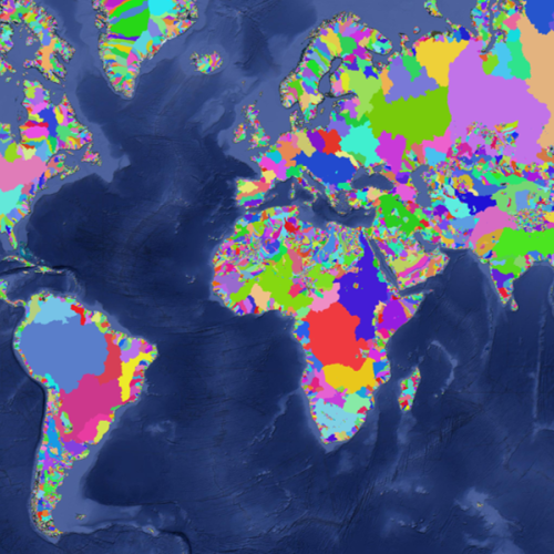
GeoNode is designed for geospatial or spatio-temporal data. Besides archiving and sharing data, GeoNode can be used as a basic Geographic Information System (GIS) to create interactive online maps that can be easily shared with a web link, included in a publication or even embedded in your own web pages.


 To the top