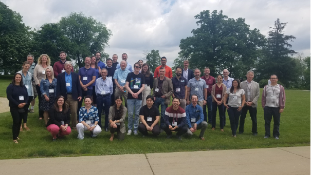
Participants of the NASA and GEO AquaWatch workshop at the University of Wisconsin (USA). | Photo: Steven Greb
Satellite data are increasingly used for limnological studies due to their enormous potential in spatio-temporal analysis. They provide local to global coverage, time series data and other valuable input parameters that are excellent for modelling and forecasting. However, in order to use and interpret the data correctly, these products need to be well calibrated and validated. A new node at IGB has been dedicated to this topic since 2022: the GEO AquaWatch Thematic Node on Calibration and Validation.
GEO AquaWatch Thematic Node on Calibration and Validation based at IGB
Validation and uncertainty assessment are crucial for satellite-derived data products to be accepted by end users in water research and management. The aim of the node at IGB is therefore to establish a global network for calibration and validation activities of remote sensing-based water quality products.
This purpose was also served by a workshop that GeoAquaWatch hosted together with the National Aeronautics and Space Administration (NASA) in June 2022. Participants evaluated the state of current validation assets, identified gaps in validation coverage and started to design a framework for building a global validation network for coastal and inland waters that are visually complex to survey. Discussions were held on standardisation of protocols, instrunentation needs, current validation research, operational efforts, validation metrics, interoperability, and documentation and formatting of validation data.
Opportunities for collaboration
Anyone can collaborate in the collection of calibration and/or validation data for satellite products. To do so, the data should meet the following requirements:
- The data must include the geographical coordinates of the sampling point.
- The date and time of sampling should match up with a satellite passage.
- In situ radiometric data should be collected.
- Samples should have been collected far from the shoreline and should have no ground interferences.
- Samples should be collected in at least 60 cubic metres of open water if Sentinel 2 data are used.
If you would like more information or to know when a satellite is passing through your study site, please contact us.